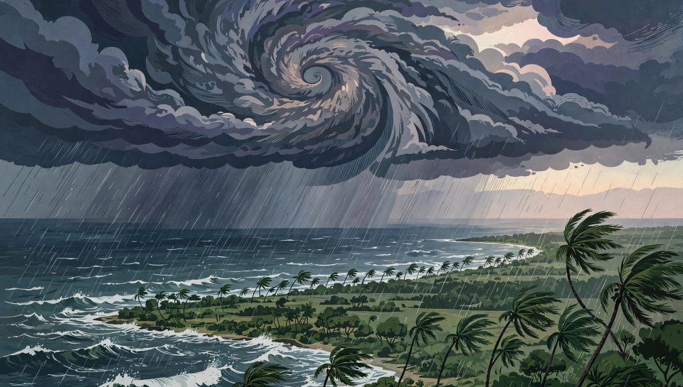
Severe Cyclonic Storm Murasu crossed the south Andhra Pradesh coast near Ongole on Tuesday 3 November 2026, bringing heavy rain, a storm surge threat and winds gusting to 120 kilometres per hour. The India Meteorological Department, known as the IMD, said the landfall process began at 1 a.m. local time and the storm crossed the coast between Nellore and Narsapur between 3.30 a.m. and 5.30 a.m., with the centre close to Ongole in Prakasam district.
Summary: Murasu is the second severe cyclonic storm to strike the same stretch of coast in less than a week, after Cyclone Arnab made landfall in Andhra Pradesh the previous Wednesday. Authorities moved about 30,000 people to safety in Andhra Pradesh before Murasu arrived, cancelled flights and trains, and closed schools, while early reports recorded uprooted trees, damaged homes and flooded crops but no confirmed deaths from Murasu itself at the time of writing.
Key takeaways:
- Murasu crossed the south Andhra Pradesh coast near Ongole between 3.30 a.m. and 5.30 a.m. on 3 November 2026.
- Sustained winds were 100 to 110 kilometres per hour, gusting to 120 kilometres per hour at landfall.
- About 30,000 people in Andhra Pradesh were planned to be moved to safety, according to Reuters.
- The IMD forecast a 1 to 1.5 metre storm surge above the astronomical tide in low-lying coastal areas.
- The storm was expected to weaken to a cyclonic storm by noon on 3 November and to a deep depression by midnight.
What happened at landfall
The IMD tracked Murasu as a severe cyclonic storm over the west-central Bay of Bengal before it reached land. In its 5.30 a.m. bulletin on 3 November, the department placed the centre over south coastal Andhra Pradesh, about 40 kilometres south-west of Bapatla, 80 kilometres north-north-east of Kavali and 120 kilometres west-south-west of Machilipatnam. The storm was moving north-north-west at about 8 kilometres per hour, a slow pace that prolongs heavy rain over the same districts.
Early local reports described uprooted trees and electricity poles, waterlogged roads and damage to houses and standing crops in Bapatla and Prakasam districts. The South First reported that a tree fell on a statue at the Prakasam district collectorate in Ongole, and that six National Disaster Response Force teams and seven State Disaster Response Force teams were on standby. Down To Earth, citing local reports, described storm surges in Bapatla, Prakasam and Krishna districts and sea water entering inland areas around Ongole.
Cyclone Murasu landfall in numbers
| Measure | Reported figure |
|---|---|
| Landfall window | 3.30 a.m. to 5.30 a.m. IST, 3 November 2026 |
| Landfall area | South Andhra Pradesh coast between Nellore and Narsapur, close to Ongole |
| Sustained winds | 100 to 110 kilometres per hour |
| Peak gusts | 120 kilometres per hour |
| Storm surge forecast | 1 to 1.5 metres above the astronomical tide in low-lying areas |
| Movement at landfall | North-north-west at about 8 kilometres per hour |
| Planned evacuations in Andhra Pradesh | About 30,000 people |
Source: IMD bulletins as reported by Reuters, The South First and ETV Bharat, 3 November 2026. Evacuation figure as reported by Reuters before landfall.
Evacuations, flights, trains and school closures
Reuters reported that authorities began evacuating thousands of people on Monday and planned to move about 30,000 to safety in Andhra Pradesh. In neighbouring Odisha, where the storm added rain to districts already hit by Arnab, India TV reported that more than 1.60 lakh people had been moved to safety and that the state had prepared 1,139 shelters, with a plan to evacuate 3.33 lakh people by 10 p.m. on Monday. Those Odisha figures describe precautionary moves across southern districts, not only the districts directly in Murasu’s path, and they show how a second storm widens the response even when the centre lands elsewhere.
Travel disruption was immediate. At least 19 domestic flights were cancelled at Vijayawada, Tirupati and Visakhapatnam airports on Monday, according to multiple Indian reports, and Chennai airport also cancelled flights as rain spread south. South Coastal Railway cancelled nine trains on the Vijayawada to Ongole to Gudur route as a precaution. Schools were closed in Chennai on Tuesday, and in several Andhra Pradesh and Odisha districts, while fishermen were advised to stay ashore until the morning of 4 November, with offshore and onshore operations suspended.
Chennai recorded 7.6 centimetres of rain by Monday, according to Outlook India, and the city corporation received 237 complaints of water stagnation. The IMD issued red warnings for Krishna, Guntur, Bapatla, Palnadu, NTR and Prakasam districts in Andhra Pradesh.
Why a second storm in one week matters
Murasu formed as a deep depression over the west-central Bay of Bengal on Sunday 1 November, according to The South First. It arrived days after Cyclone Arnab, classified by the IMD as a very severe cyclonic storm, made landfall in Andhra Pradesh on Wednesday 28 October. Reuters reported at least six deaths from Arnab; The South First put the toll at at least seven. The difference is a reminder to treat early casualty figures as provisional: they change as districts report, and the two outlets were reporting at different times.
Back-to-back storms are harder on communities than a single storm for three reasons. First, soil already saturated by the first storm drains more slowly, so the second storm’s rain turns more quickly into flooding and waterlogging. Second, repair crews, power-restoration teams and shelters are already stretched, which is why Andhra Pradesh moved 31,000 electricity poles to strategic locations before Murasu, anticipating damage to around 8,000 poles, per India TV. Third, residents who have just returned home may be slower to evacuate again, which is why authorities repeated the warning to follow official updates rather than social media forecasts.
What happens next
The IMD forecast is clear on direction, even if the exact timing will be refined through the day. Murasu was expected to continue north-north-west and weaken into a cyclonic storm, with winds of 80 to 90 kilometres per hour gusting to 100, by noon on Tuesday, and then into a deep depression, with winds of 55 to 65 kilometres per hour gusting to 75, by midnight. Heavy to very heavy rain was still expected across coastal Andhra Pradesh and Rayalaseema, with further rain forecast for Telangana, Tamil Nadu, Odisha and Chhattisgarh over the following days.
For people in affected areas, the practical advice from the authorities is unchanged: stay indoors while warnings are in force, do not drive through flooded roads, and report power outages, fallen trees, collapsed walls and waterlogging through the Andhra Pradesh government’s Mana Mitra WhatsApp service on 9552300009, or call the emergency numbers 112, 1070 and 18004250101. Those channels were published by The South First and ABP Live in their Tuesday coverage, and they remain the fastest route to local help while restoration work continues.
Frequently asked questions
Where did Cyclone Murasu make landfall?
Near Ongole in Prakasam district, on the south Andhra Pradesh coast between Nellore and Narsapur, between 3.30 a.m. and 5.30 a.m. IST on 3 November 2026.
How strong was Cyclone Murasu at landfall?
The IMD reported sustained winds of 100 to 110 kilometres per hour, gusting to 120 kilometres per hour, which placed Murasu in the severe cyclonic storm category used by the IMD.
Was anyone killed by Cyclone Murasu?
No deaths from Murasu had been confirmed in the reports reviewed for this article on Tuesday morning. The Andhra Pradesh State Disaster Management Authority was quoted as reporting no deaths or injuries as of Tuesday morning, while damage reports were still preliminary.
Is Cyclone Murasu over?
Not at landfall. The storm was forecast to weaken through Tuesday, but heavy rain, gusty winds and a moderate flash-flood risk in parts of coastal Andhra Pradesh and Yanam were expected to continue into the night of 3 November.
Conclusion
Murasu was not the strongest storm to hit India’s east coast, but its timing made it serious. It struck a coastline still clearing up from Arnab, it moved slowly enough to dump heavy rain on the same districts, and it forced tens of thousands of people to move for a second time in a week. The encouraging early signal is that large-scale evacuations and early warnings appear to have prevented confirmed deaths in the first hours after landfall. The test now is restoration: power, roads, drainage and crops, in districts where the ground was already wet before the rain began.
Sources and Further Reading
- Reuters, 2 November 2026: Cyclone Murasu begins making landfall on India’s eastern coast
- The South First, 3 November 2026: Cyclone Murasu crosses southern Andhra with wind speed of up to 120 kmph
- Down To Earth, 3 November 2026: Cyclone Murasu wreaks havoc in Andhra Pradesh, days after Arnab’s deadly impact
- ETV Bharat, 3 November 2026: Cyclone Murasu live updates
- Outlook India, 3 November 2026: Cyclone Murasu crosses Andhra coast, triggering heavy rainfall
- WebReOn: DRC Ebola Deaths Pass 5,000, on large-scale emergency response
- WebReOn: Europe’s Cost-of-Living Revolt, on disruption across many districts
- WebReOn: MINURSO Mission Ends, the most recent Global Trending News article